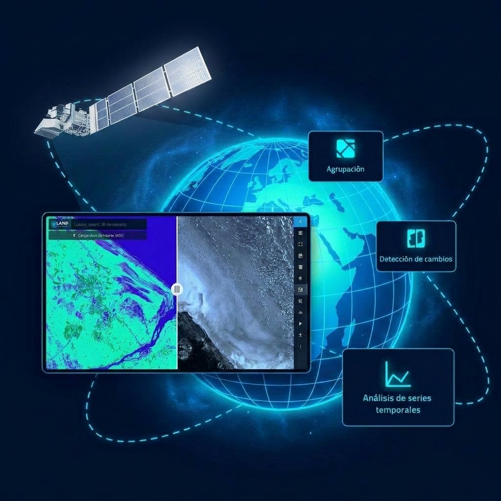
Satellite imagery, proprietary laboratory materials and nuclear magnetic resonance (NMR) are combined to produce remote mapping and reservoir characterization to depths of 24,600 ft (7,500 m).
Maximum characterization depth
Projects completed
Reduction in seismic cost (up to)
Countries with projects delivered
Manifesto
For decades, subsurface exploration has been conditioned by uncertainty, extensive field intervention and decisions taken on partial approximations. Inside Earth was established on a defined premise: subsurface characterization can be conducted with greater precision, greater efficiency and lower environmental impact.
Additional information acquired prior to drilling reduces geological and financial risk. Informed decisions are therefore enabled from the earliest stages of the exploration cycle.
The optimization of geological exploration is treated as an operational responsibility. Early-stage interventions are required to be more precise and more efficient.
The subsurface is characterized remotely and in advance of field operations. Uncertainty is reduced at critical decision points and environmental impact is limited.
Scientific development and advanced modeling are integrated to improve subsurface resolution. Conventional methods are not replaced; their interpretive value is extended.
Technology does not replace geology. It extends its resolution.
Inside Earth
What We Do
Hydrocarbons, mineral deposits, groundwater and geothermal reservoirs are characterized to depths of 24,600 ft (7,500 m), including offshore settings.
Resource identification is completed before seismic operations commence.
Limitations of conventional seismic methods are addressed by means of complementary data sets.
Existing operations are supplemented with additional subsurface data.
Industries
Subsurface characterization is configured to the technical requirements of each industry.
Technology
The methodology is designed to complement conventional seismic surveys.
Drilling, extraction and gallery extension points are determined in advance, which limits the risk of spills and incidents and reduces the associated carbon footprint.

High-resolution satellite data are processed with proprietary algorithms for surface mapping.
Materials developed in-house are used to calibrate subsurface detection.
NMR is applied to geological exploration in order to obtain subsurface analysis at molecular level.
Benefits
An environmental impact study is not required, which shortens the exploratory cycle and the associated costs.
Complex governmental permitting is not required, which removes months of administrative lead time.
Industrial development may commence without an extended exploratory phase, which advances the revenue generation schedule.
No field crews are deployed; exposure of personnel to on-site occupational hazards is therefore eliminated.
Shorter exploration cycles, fewer wells drilled and improved definition of development opportunities.
Reliable subsurface information is available before bids are submitted in licensing rounds.
Success Cases
Projects delivered across the mining, energy, water and geothermal sectors on six continents.
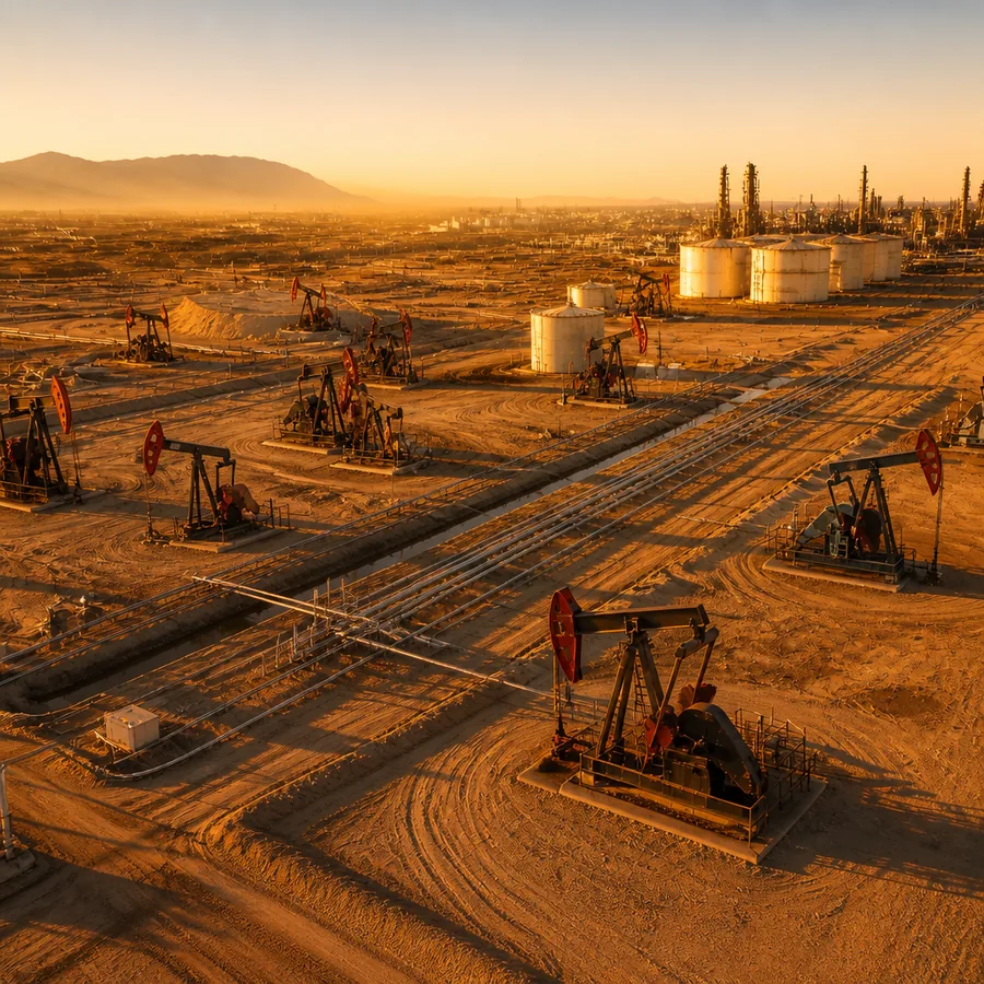
Hydrocarbons
Minerals
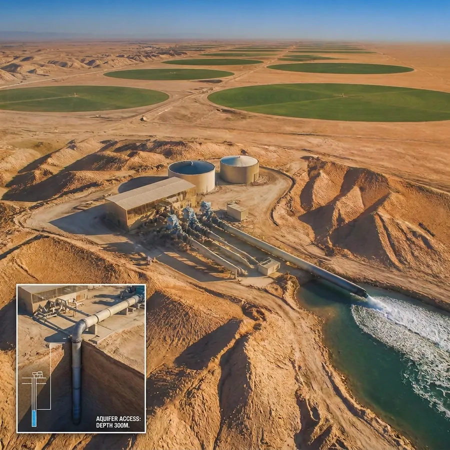
Water
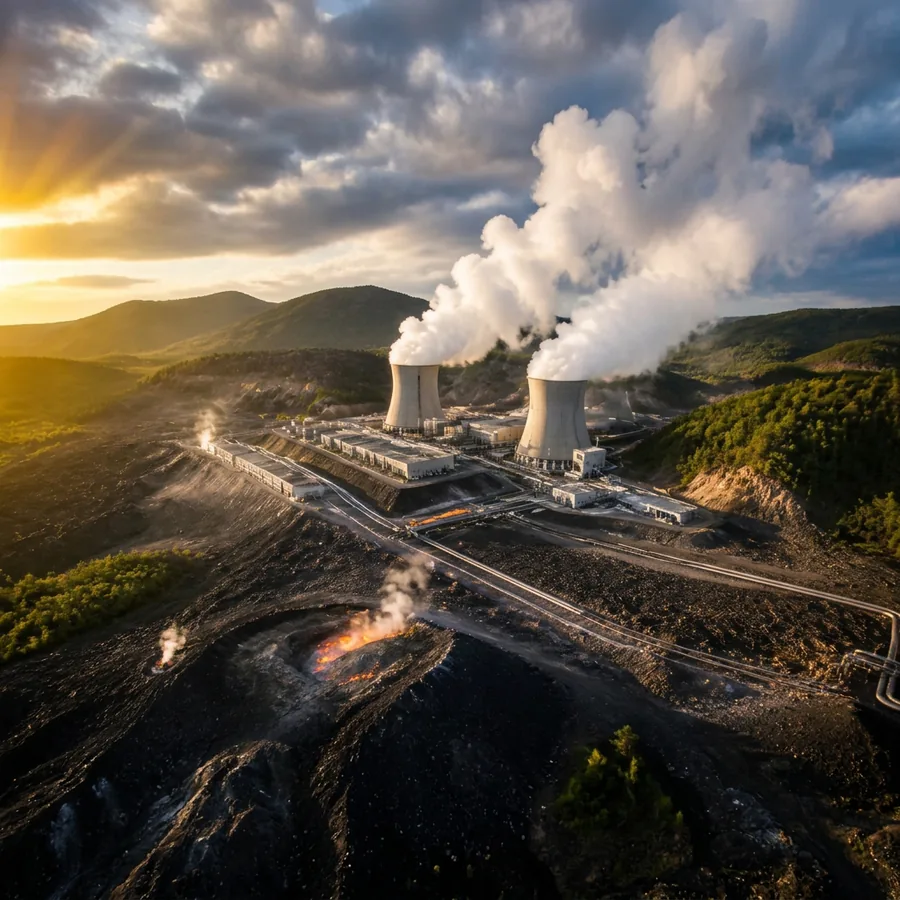
Geothermal
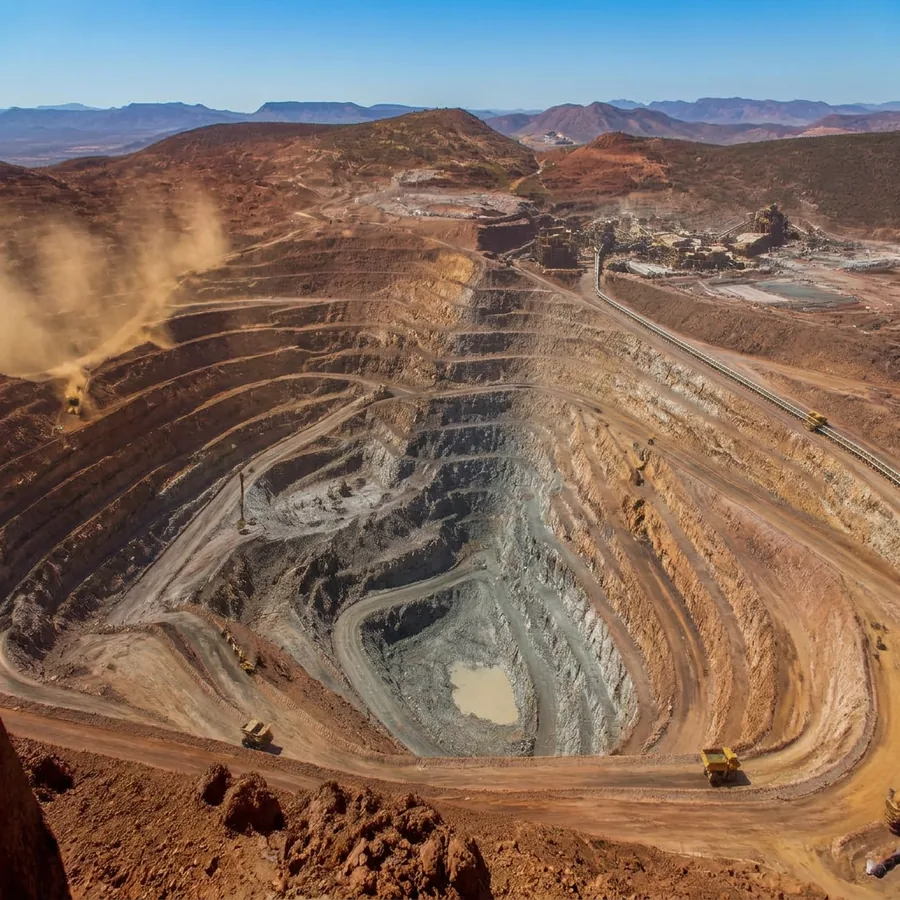
Mining
Four license blocks, 83 surface measurement points, 15 copper anomalies and the tectonic fault network, integrated into a single georeferenced 3D model.
View 3D model →Water resources
Deep aquifer characterization for sustainable management: resource location, volume and quality are established before any drilling.
View full case →Oil & gas
Cases across conventional, unconventional (shale) and offshore fields, with reduced drilling risk and validation of seismic interpretations.
View cases →Projects in more than 30 countries, six continents.
Subsurface resources (hydrocarbons, minerals, groundwater and geothermal) are mapped and characterized remotely and in advance of drilling, by combining satellite imaging, proprietary laboratory materials and nuclear magnetic resonance (NMR).
No. The process is conducted entirely remotely: no field crews are deployed, no ground disturbance is produced and no complex permits are required. Compliance with ESG and HSE standards is therefore maintained.
No. Seismic surveys and drilling are not replaced; their effectiveness is increased. The method operates as an initial screening stage that prioritizes survey and drilling locations, which reduces unnecessary seismic lines and dry holes.
Depths of up to approximately 24,600 ft (7,500 m), with project areas ranging from tens of sq mi up to 19,300 sq mi (50,000 km²).
The molecular signature of each element is measured by NMR rather than inferred from structural geometry. Hydrocarbons can therefore be discriminated from water and CO₂, and gas caps can be detected before drilling.
The deliverable set comprises anomaly contour maps, depth and thickness profiles, schematic cross-sections, fluid and content discrimination, pressure and resource estimates, and recommended drilling locations.
Weeks to a few months rather than years. The remote workflow compresses the exploration cycle: an initial report is delivered within 45 to 60 days and the final report within 90 to 120 days.
Yes. Validation is provided by delivered client projects, including the complete offshore characterization in Sierra Leone (oil and gas, supported by a Competent Person's Report issued by Ryder Scott) and the El Cóndor study in Colombia, among more than 100 projects delivered worldwide since 2018.
For additional information, request a meeting; the asset will be reviewed on a step-by-step basis.
Get In Touch
Provide the details of the project. An assessment of the applicable scope and of the expected deliverables will be returned.
Universitat Politècnica de Catalunya
Parc TecnoCampus Mataró
Av. d'Ernest Lluch 32 · 08302 Mataró
Barcelona, Spain